I'm
Arun Kumar Bhomi.
Geomatics Engineer, GIS Expert, GIS Developer, Senior Surveyor.
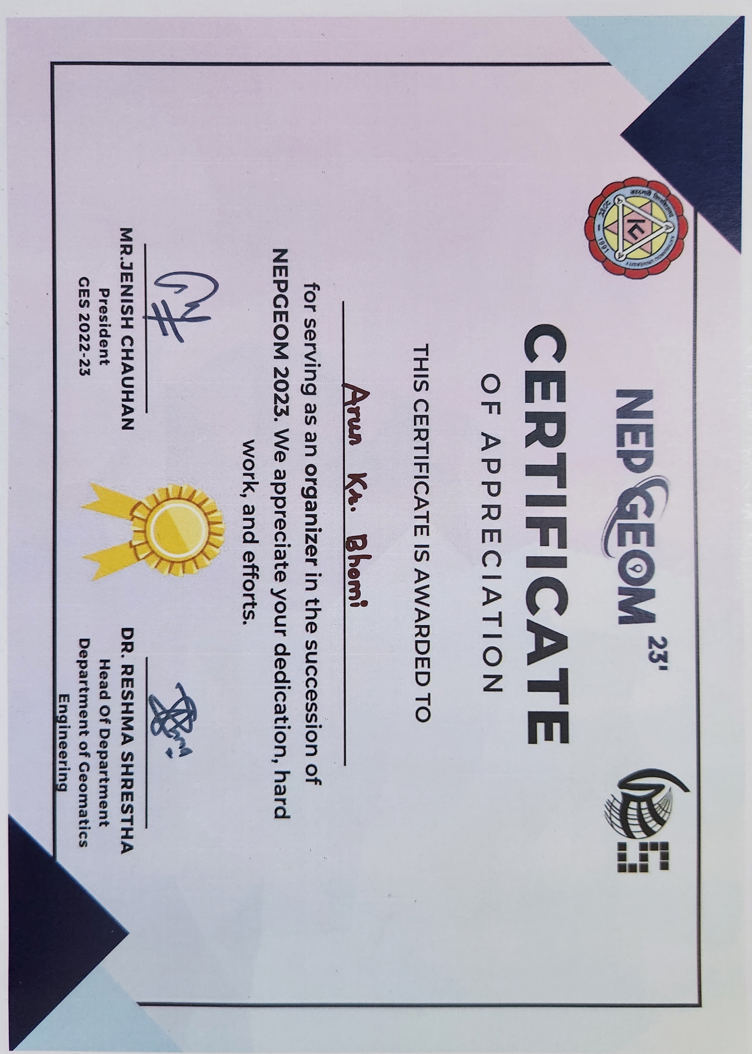
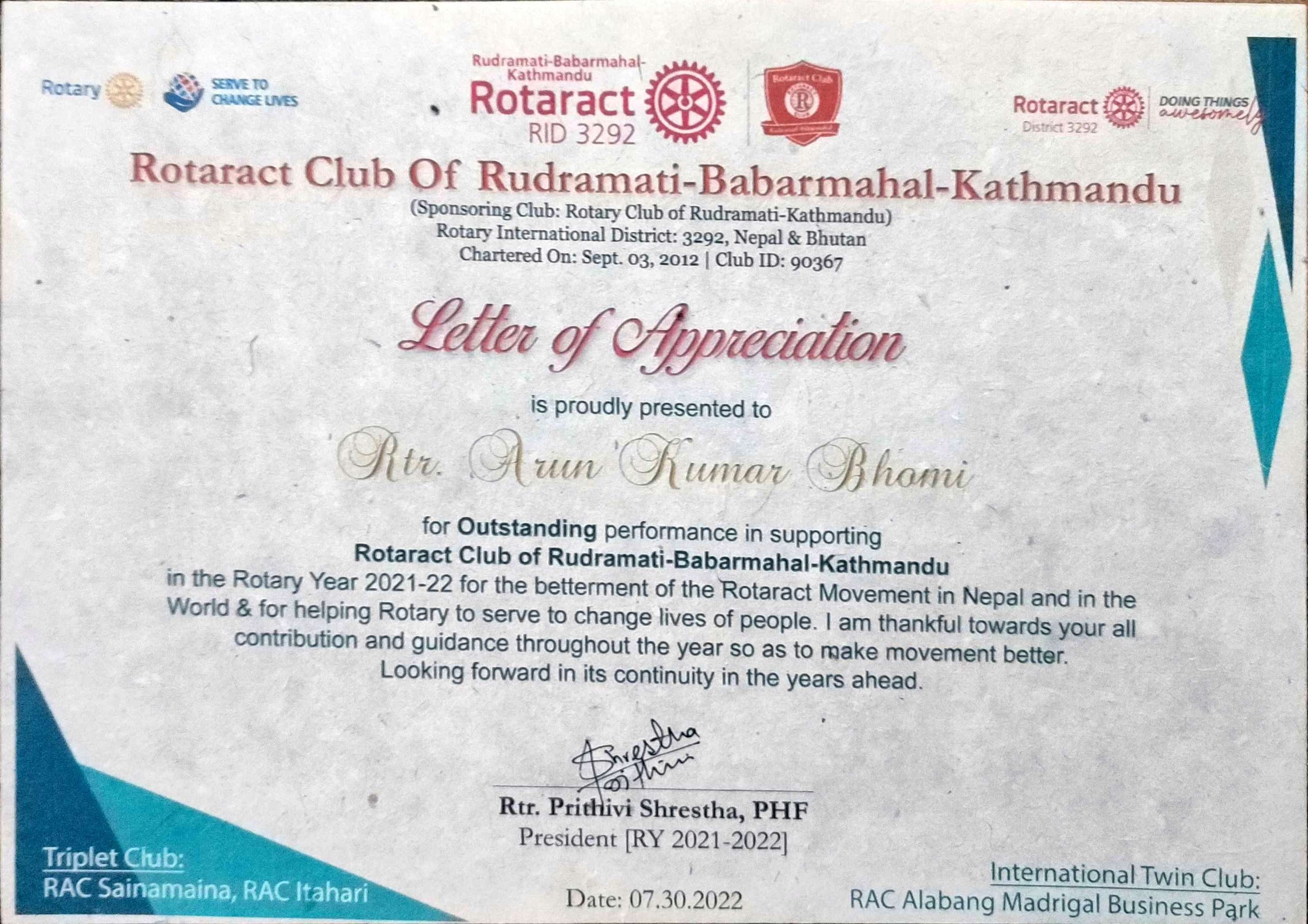
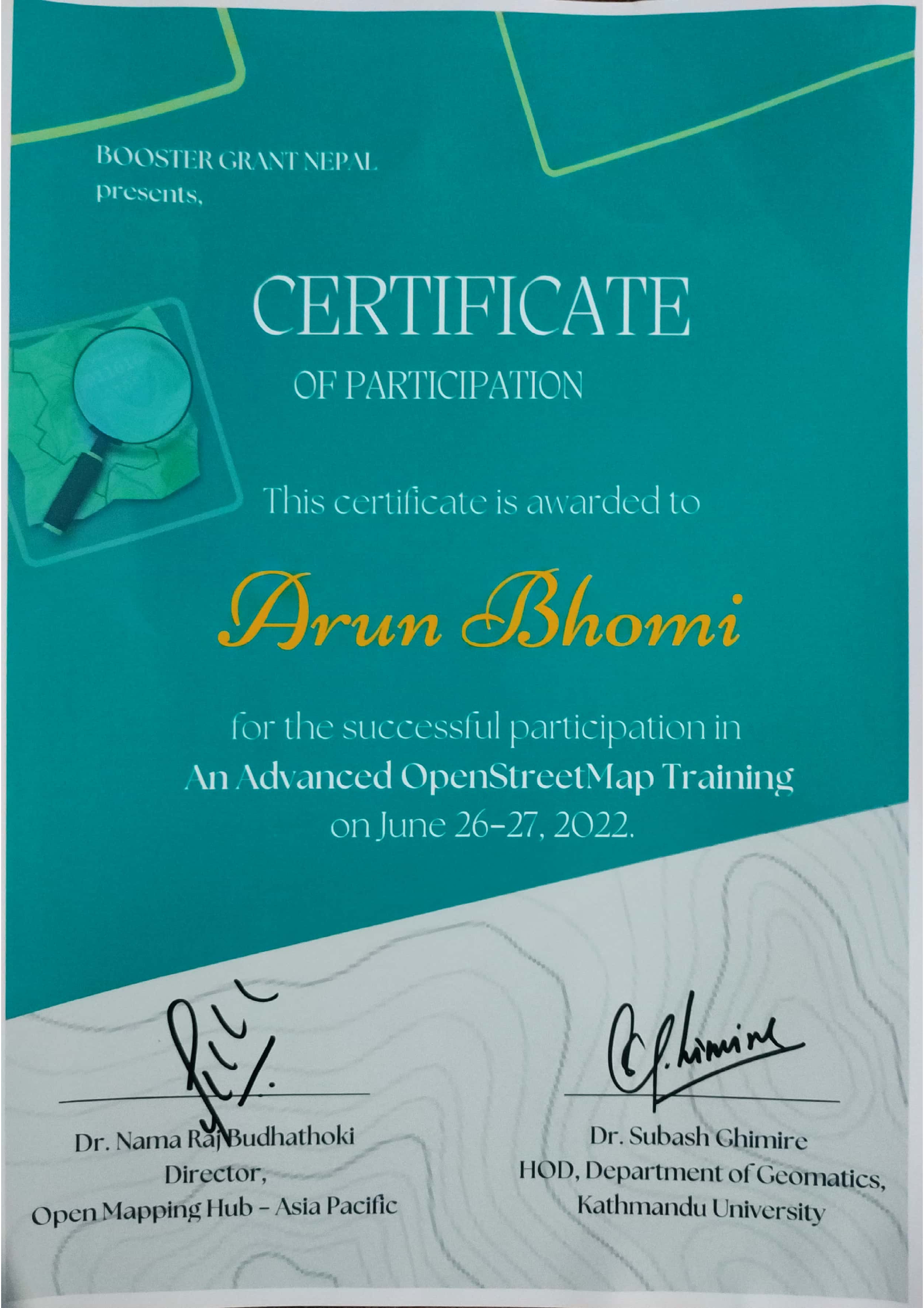
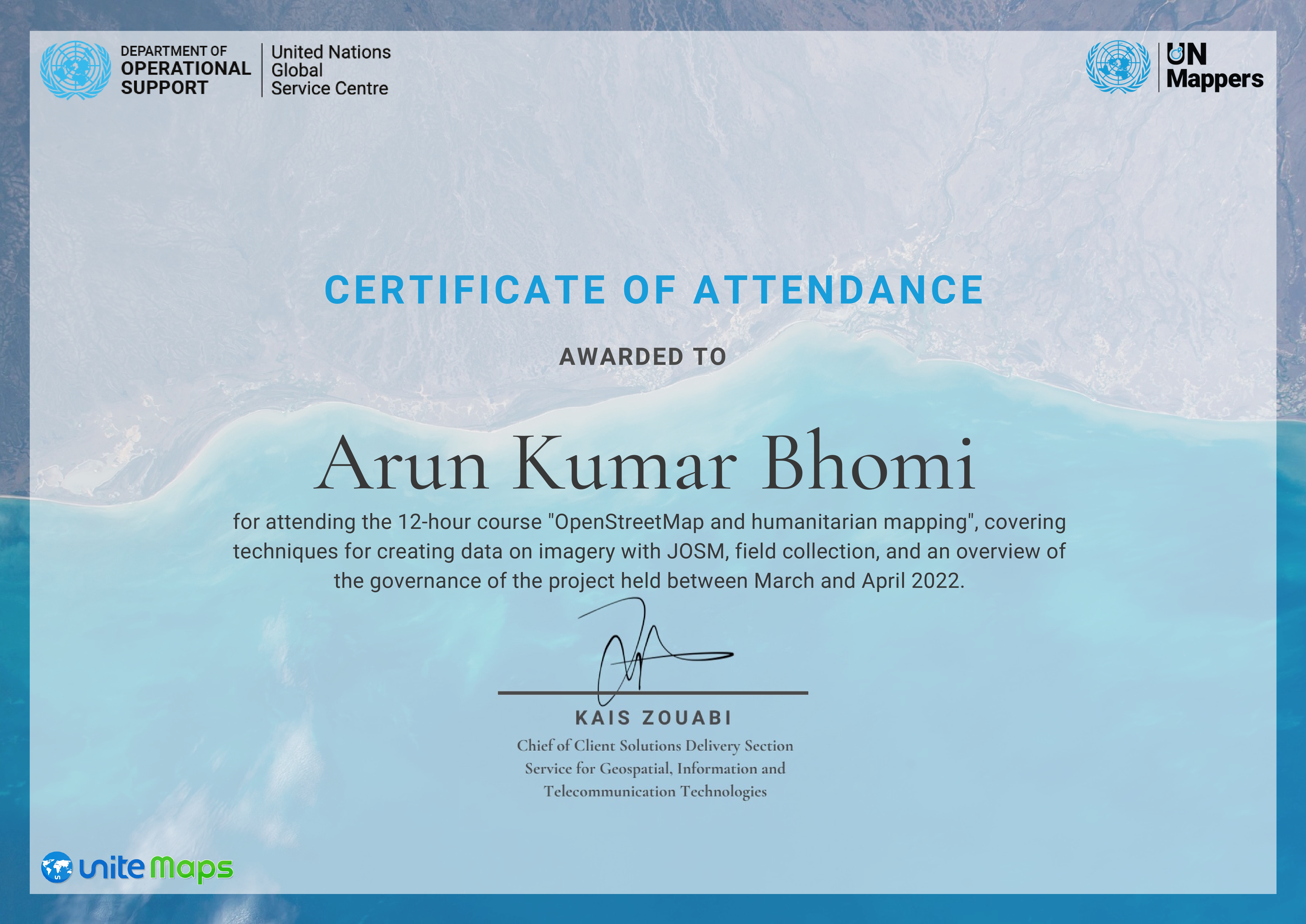
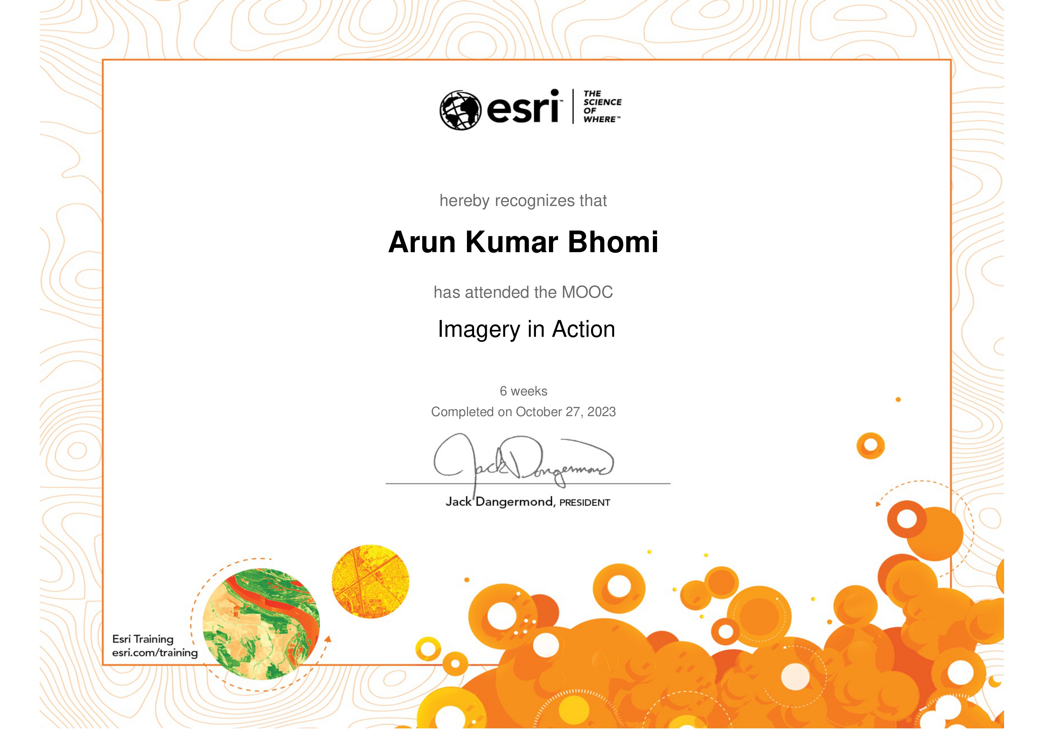
A Geomatics Engineer with expertise in Geographic Information System (GIS), OpenStreetMap (OSM), field survey, UAV, measuring land areas, staking out, remote sensing, and other spatial domains. With two papers published in the National Survey Department Journal and a paper in the International Conference FIG 2024, I have contributed to OpenStreetMap and Women-focused emergency mapping.
Kathmandu University | 2019 - 2024
CGPA: 3.86/4.00
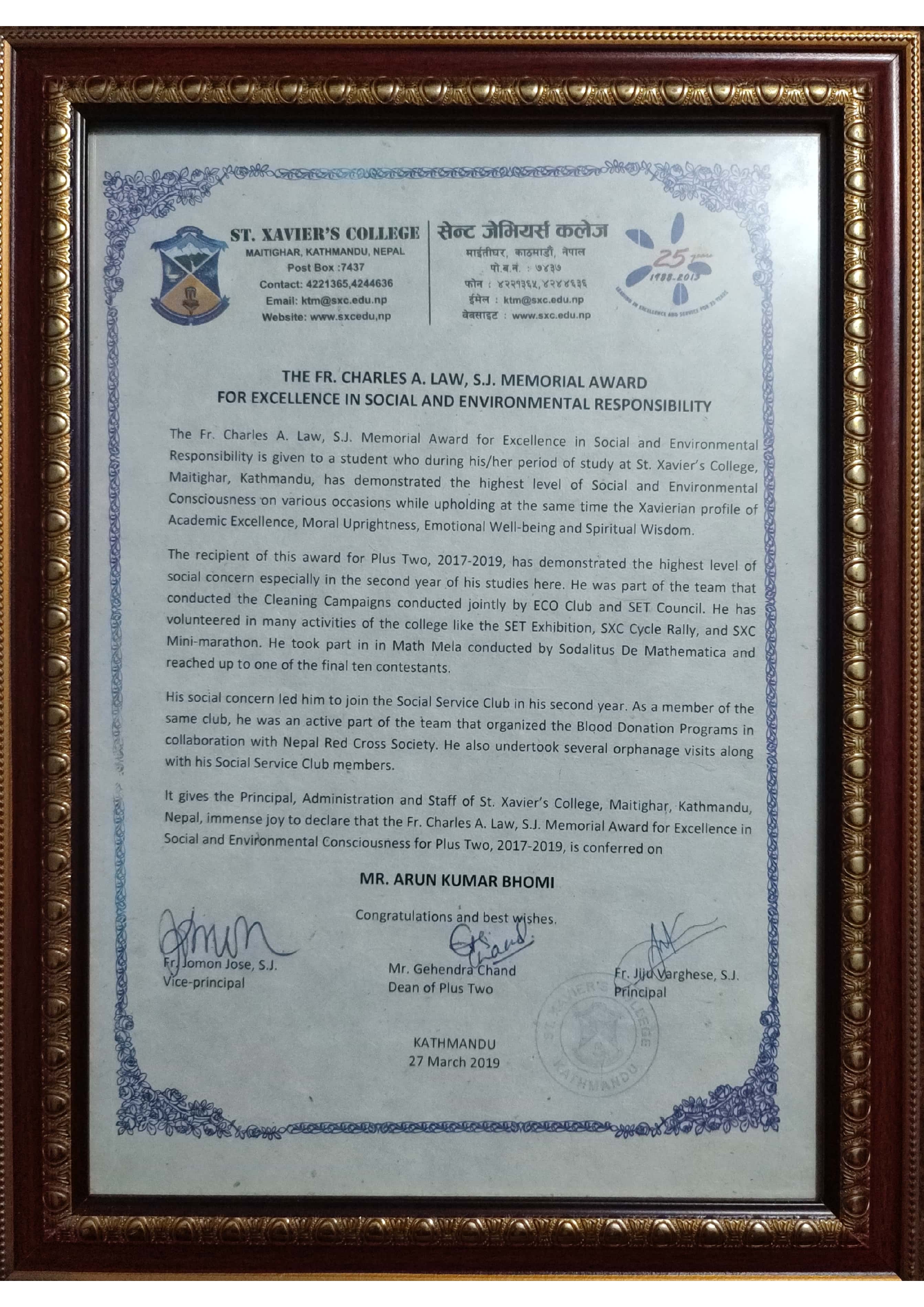
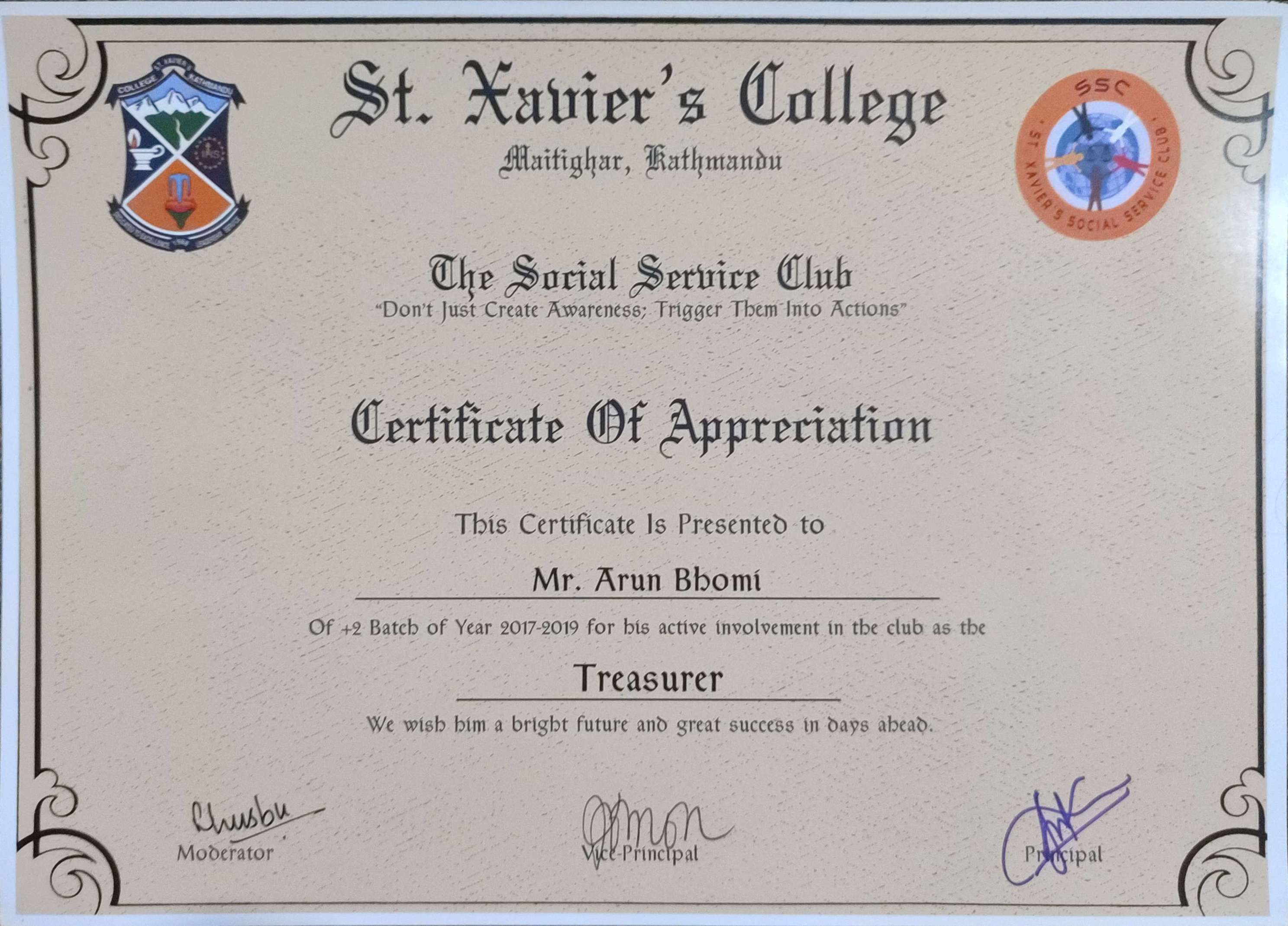
St. Xavier's College | 2017 - 2019
CGPA: 3.48/4.00
Bagiswori Higher Secondary School | 2007 - 2017
CGPA: 3.75/4.00
Kathmandu Metropolitan City | Jan 2025 - Present
Genesis Consultancy Pvt Ltd. | Aug 2024 - Jan 2025
Kathmandu Living Labs | March 2024 - May 2024
Experienced in conducting field surveys using advanced equipment such as Total Station, Drone, DGPS, LiDAR, and Plane Table, and many more. I provide precise data collection and mapping services for various projects, ensuring accuracy and efficiency in geospatial analysis.
Read MoreSpecialized in WebGIS design, creating interactive web maps for diverse applications. With experience in earthquake visualization, Integrated Municipal Systems, and the KMC Web Portal using Leaflet and other tools, I can develop user-friendly and efficient geospatial solutions tailored to project needs.
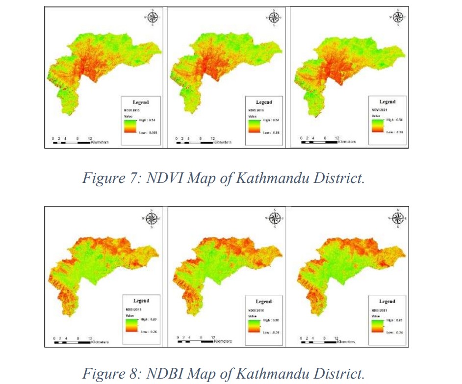
Read MoreI offer geospatial analysis services using Remote Sensing, Google Earth Engine, and various machine learning algorithms for data processing and decision-making. From land use classification to environmental monitoring, I can analyze spatial data to derive meaningful insights for research and project applications.
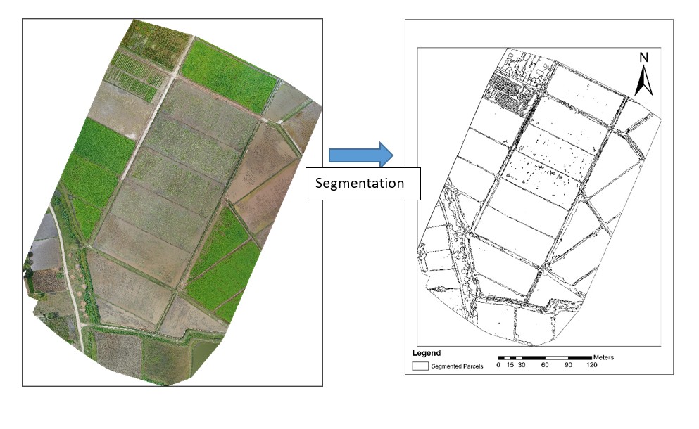
Read MoreI provide GIS mapping services for spatial data visualization, analysis, and decision-making. With expertise in creating detailed maps using satellite imagery, field data, and geospatial techniques, I develop accurate and interactive mapping solutions for various applications.
Read MoreI provide land measurement services, including precise area calculations, staking out points or plots, and parcel division. Using advanced surveying techniques and equipment, I ensure accurate boundary determination and land mapping for property management, construction, and development projects.
Read MoreI offer content writing services, creating clear, engaging, and well-researched content tailored to various needs. With experience in technical writing, articles, reports, and web content, I ensure informative and compelling communication for different audiences.
Read More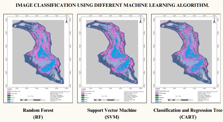

Survey Officer
Managing Director

GIS Data Analyst
Available for freelance work and collaborations.